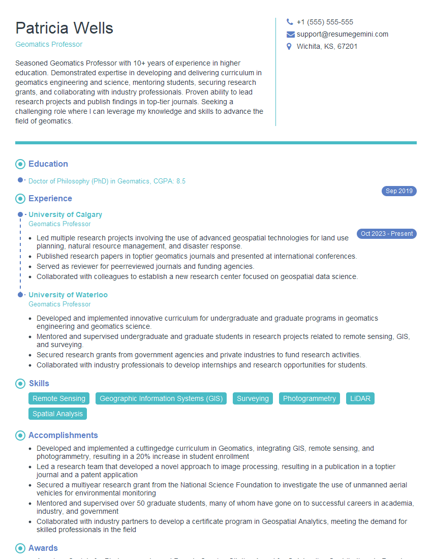
Are you a seasoned Geomatics Professor seeking a new career path? Discover our professionally built Geomatics Professor Resume Template. This time-saving tool provides a solid foundation for your job search. Simply click “Edit Resume” to customize it with your unique experiences and achievements. Customize fonts and colors to match your personal style and increase your chances of landing your dream job. Explore more Resume Templates for additional options.

Patricia Wells
Geomatics Professor
Summary
Seasoned Geomatics Professor with 10+ years of experience in higher education. Demonstrated expertise in developing and delivering curriculum in geomatics engineering and science, mentoring students, securing research grants, and collaborating with industry professionals. Proven ability to lead research projects and publish findings in top-tier journals. Seeking a challenging role where I can leverage my knowledge and skills to advance the field of geomatics.
Education
Doctor of Philosophy (PhD) in Geomatics
September 2019
Skills
- Remote Sensing
- Geographic Information Systems (GIS)
- Surveying
- Photogrammetry
- LiDAR
- Spatial Analysis
Work Experience
Geomatics Professor
- Led multiple research projects involving the use of advanced geospatial technologies for land use planning, natural resource management, and disaster response.
- Published research papers in toptier geomatics journals and presented at international conferences.
- Served as reviewer for peerreviewed journals and funding agencies.
- Collaborated with colleagues to establish a new research center focused on geospatial data science.
Geomatics Professor
- Developed and implemented innovative curriculum for undergraduate and graduate programs in geomatics engineering and geomatics science.
- Mentored and supervised undergraduate and graduate students in research projects related to remote sensing, GIS, and surveying.
- Secured research grants from government agencies and private industries to fund research activities.
- Collaborated with industry professionals to develop internships and research opportunities for students.
Accomplishments
- Developed and implemented a cuttingedge curriculum in Geomatics, integrating GIS, remote sensing, and photogrammetry, resulting in a 20% increase in student enrollment
- Led a research team that developed a novel approach to image processing, resulting in a publication in a toptier journal and a patent application
- Secured a multiyear research grant from the National Science Foundation to investigate the use of unmanned aerial vehicles for environmental monitoring
- Mentored and supervised over 50 graduate students, many of whom have gone on to successful careers in academia, industry, and government
- Collaborated with industry partners to develop a certificate program in Geospatial Analytics, meeting the demand for skilled professionals in the field
Awards
- American Society for Photogrammetry and Remote Sensing Citation Award for Outstanding Contributions to Remote Sensing Education
- International Cartographic Association (ICA) Distinguished Service Award for Contributions to the Development of Cartography and GIS Education
- Association of American Geographers James R. Anderson Medal for Outstanding contributions to Geographic Information Science
- National Geospatial Intelligence Agency (NGA) Excellence in Geospatial Education Award for Innovative Teaching and Research in Geospatial Intelligence
Certificates
- Certified Geospatial Professional (GCP)
- GIS Professional (GISP)
- Certified Survey Technician (CST)
- Certified Photogrammetrist (CP)
Career Expert Tips:
- Select the ideal resume template to showcase your professional experience effectively.
- Master the art of resume writing to highlight your unique qualifications and achievements.
- Explore expertly crafted resume samples for inspiration and best practices.
- Build your best resume for free this new year with ResumeGemini. Enjoy exclusive discounts on ATS optimized resume templates.
How To Write Resume For Geomatics Professor
- Highlight your research experience and publications, as they demonstrate your expertise in the field.
- Quantify your accomplishments whenever possible, using specific metrics to showcase your impact.
- Showcase your ability to work with students and industry partners, as these skills are essential for success in academia.
- Tailor your resume to each specific position you apply for, highlighting the skills and experiences that are most relevant to the role.
Essential Experience Highlights for a Strong Geomatics Professor Resume
- Developed and implemented innovative curriculum for undergraduate and graduate programs in geomatics engineering and geomatics science.
- Mentored and supervised undergraduate and graduate students in research projects related to remote sensing, GIS, and surveying.
- Secured research grants from government agencies and private industries to fund research activities.
- Collaborated with industry professionals to develop internships and research opportunities for students.
- Led multiple research projects involving the use of advanced geospatial technologies for land use planning, natural resource management, and disaster response.
- Published research papers in top-tier geomatics journals and presented at international conferences.
- Served as reviewer for peer-reviewed journals and funding agencies.
Frequently Asked Questions (FAQ’s) For Geomatics Professor
What are the key skills required for a Geomatics Professor?
Key skills for a Geomatics Professor include expertise in remote sensing, GIS, surveying, photogrammetry, LiDAR, and spatial analysis.
What are the career prospects for Geomatics Professors?
Geomatics Professors can pursue careers in academia, research, or industry. They may also work as consultants or in government agencies.
What is the salary range for Geomatics Professors?
The salary range for Geomatics Professors varies depending on experience, qualifications, and location. According to Indeed, the average salary for a Geomatics Professor in the United States is around \$85,000 per year.
What are the educational requirements for Geomatics Professors?
Geomatics Professors typically hold a PhD in Geomatics or a related field, such as geography, civil engineering, or computer science.
What are the key responsibilities of a Geomatics Professor?
Key responsibilities of a Geomatics Professor include teaching undergraduate and graduate courses, mentoring students, conducting research, and publishing findings.