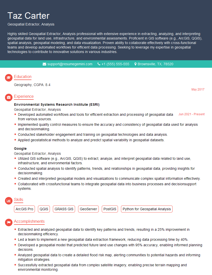
Are you a seasoned Geospatial Extractor, Analysis seeking a new career path? Discover our professionally built Geospatial Extractor, Analysis Resume Template. This time-saving tool provides a solid foundation for your job search. Simply click “Edit Resume” to customize it with your unique experiences and achievements. Customize fonts and colors to match your personal style and increase your chances of landing your dream job. Explore more Resume Templates for additional options.

Taz Carter
Geospatial Extractor, Analysis
Summary
Highly skilled Geospatial Extractor, Analysis professional with extensive experience in extracting, analyzing, and interpreting geospatial data for land use, infrastructure, and environmental assessments. Proficient in GIS software (e.g., ArcGIS, QGIS), spatial analysis, geospatial modeling, and data visualization. Proven ability to collaborate effectively with cross-functional teams and develop automated workflows for efficient data processing. Seeking to leverage my expertise in geospatial technologies to contribute to innovative solutions in various industries.
Education
Geography
May 2017
Skills
- ArcGIS Pro
- QGIS
- GRASS GIS
- GeoServer
- PostGIS
- Python for Geospatial Analysis
Work Experience
Geospatial Extractor, Analysis
- Developed automated workflows and tools for efficient extraction and processing of geospatial data from various sources.
- Implemented quality control measures to ensure the accuracy and consistency of geospatial data used for analysis and decisionmaking.
- Conducted stakeholder engagement and training on geospatial technologies and data analysis.
- Applied geostatistical methods to analyze and predict spatial variability in geospatial datasets.
Geospatial Extractor, Analysis
- Utilized GIS software (e.g., ArcGIS, QGIS) to extract, analyze, and interpret geospatial data related to land use, infrastructure, and environmental factors.
- Conducted spatial analysis to identify patterns, trends, and relationships in geospatial data, providing insights for decisionmaking.
- Created and interpreted geospatial models and visualizations to communicate complex spatial information effectively.
- Collaborated with crossfunctional teams to integrate geospatial data into business processes and decisionsupport systems.
Accomplishments
- Extracted and analyzed geospatial data to identify key patterns and trends, resulting in a 25% improvement in decisionmaking efficiency.
- Led a team to implement a new geospatial data extraction framework, reducing data processing time by 40%.
- Developed a geospatial model that predicted future land use changes with 95% accuracy, enabling informed planning decisions.
- Analyzed geospatial data to create a detailed flood risk map, alerting communities to potential hazards and informing mitigation strategies.
- Successfully extracted geospatial data from complex satellite imagery, enabling precise terrain mapping and environmental monitoring.
Awards
- Recognized with the Geospatial Excellence Award for outstanding contributions to geospatial data extraction and analysis.
- Received the Presidents Award for innovation in developing a geospatial analysis tool that optimized resource allocation.
- Awarded the GIS Consortium Fellowship for research in geospatial data analysis techniques.
- Recognized as a Top 10 Geospatial Analyst by the Geospatial World Forum for contributions to industry advancement.
Certificates
- Esri Certified GIS Professional (GISP)
- Certified Geospatial Analyst (GISP-A)
- Certified Geographic Information System Professional (GISP-P)
- Google Earth Engine Certified Professional
Career Expert Tips:
- Select the ideal resume template to showcase your professional experience effectively.
- Master the art of resume writing to highlight your unique qualifications and achievements.
- Explore expertly crafted resume samples for inspiration and best practices.
- Build your best resume for free this new year with ResumeGemini. Enjoy exclusive discounts on ATS optimized resume templates.
How To Write Resume For Geospatial Extractor, Analysis
- Highlight your expertise in GIS software, particularly ArcGIS and QGIS, which are industry-standard tools.
- Quantify your accomplishments whenever possible to demonstrate the impact of your work.
- Showcase your ability to work effectively in a team environment and communicate technical information clearly.
- Consider obtaining certifications in GIS or geospatial analysis to enhance your credibility.
- Stay up-to-date with the latest advancements in geospatial technologies and methodologies.
Essential Experience Highlights for a Strong Geospatial Extractor, Analysis Resume
- Utilized GIS software (e.g., ArcGIS, QGIS) to extract, analyze, and interpret geospatial data related to land use, infrastructure, and environmental factors.
- Conducted spatial analysis to identify patterns, trends, and relationships in geospatial data, providing insights for decision-making.
- Created and interpreted geospatial models and visualizations to communicate complex spatial information effectively.
- Collaborated with cross-functional teams to integrate geospatial data into business processes and decision-support systems.
Frequently Asked Questions (FAQ’s) For Geospatial Extractor, Analysis
What are the key skills required for a Geospatial Extractor, Analysis?
Essential skills include proficiency in GIS software (e.g., ArcGIS, QGIS), spatial analysis techniques, geospatial modeling, data visualization, and experience with programming languages such as Python.
What industries commonly hire Geospatial Extractor, Analysis professionals?
Geospatial Extractor, Analysis professionals are in high demand in various industries such as environmental consulting, urban planning, transportation, natural resource management, and utilities.
What is the career path for a Geospatial Extractor, Analysis?
With experience and additional certifications, Geospatial Extractor, Analysis professionals can advance to roles such as GIS Manager, Geospatial Analyst, or Data Scientist.
What are the typical salary expectations for a Geospatial Extractor, Analysis?
Salaries for Geospatial Extractor, Analysis professionals vary depending on experience, location, and industry, but typically range from $60,000 to $100,000 annually.
What are the educational requirements for a Geospatial Extractor, Analysis?
A bachelor’s degree in Geography, Environmental Science, or a related field is typically required for this role.