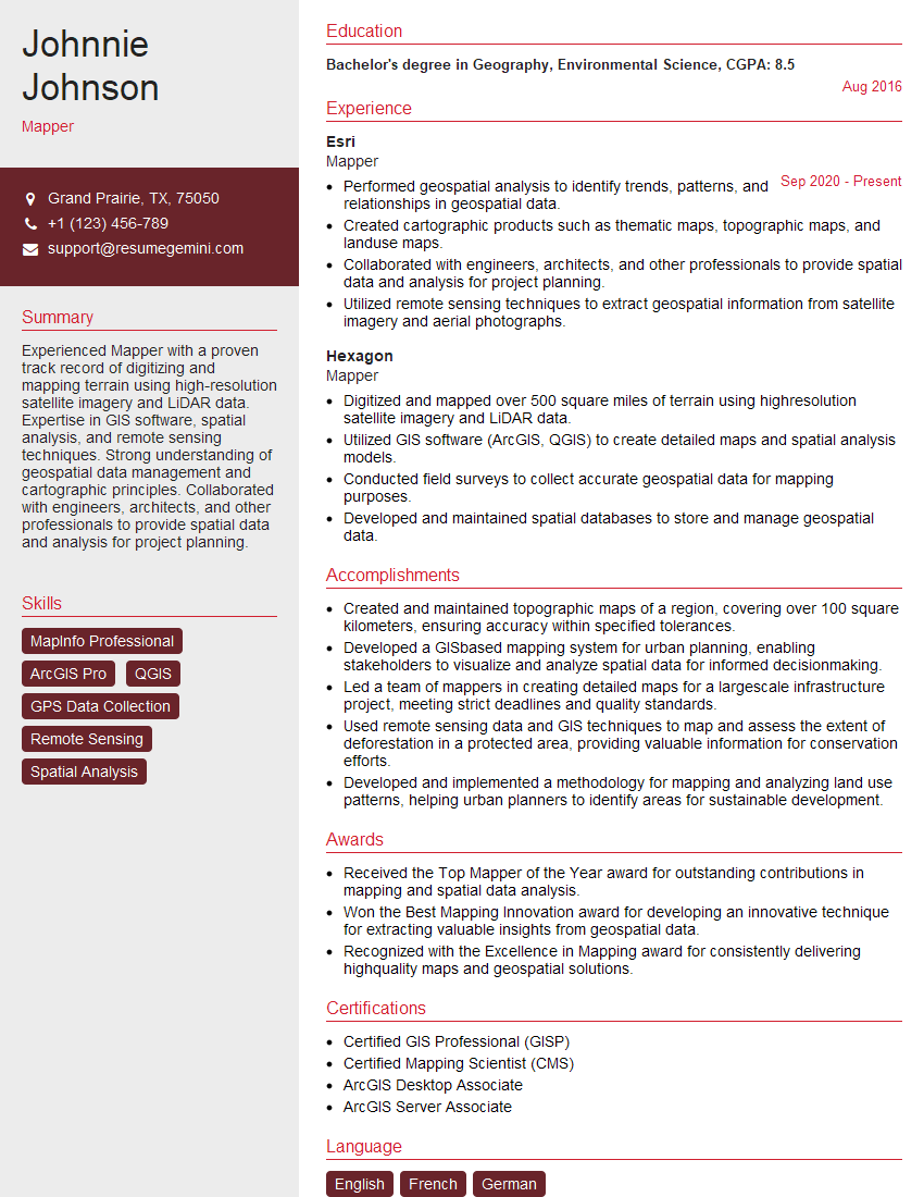
Are you a seasoned Mapper seeking a new career path? Discover our professionally built Mapper Resume Template. This time-saving tool provides a solid foundation for your job search. Simply click “Edit Resume” to customize it with your unique experiences and achievements. Customize fonts and colors to match your personal style and increase your chances of landing your dream job. Explore more Resume Templates for additional options.

Johnnie Johnson
Mapper
Summary
Experienced Mapper with a proven track record of digitizing and mapping terrain using high-resolution satellite imagery and LiDAR data. Expertise in GIS software, spatial analysis, and remote sensing techniques. Strong understanding of geospatial data management and cartographic principles. Collaborated with engineers, architects, and other professionals to provide spatial data and analysis for project planning.
Education
Bachelor’s degree in Geography, Environmental Science
August 2016
Skills
- MapInfo Professional
- ArcGIS Pro
- QGIS
- GPS Data Collection
- Remote Sensing
- Spatial Analysis
Work Experience
Mapper
- Performed geospatial analysis to identify trends, patterns, and relationships in geospatial data.
- Created cartographic products such as thematic maps, topographic maps, and landuse maps.
- Collaborated with engineers, architects, and other professionals to provide spatial data and analysis for project planning.
- Utilized remote sensing techniques to extract geospatial information from satellite imagery and aerial photographs.
Mapper
- Digitized and mapped over 500 square miles of terrain using highresolution satellite imagery and LiDAR data.
- Utilized GIS software (ArcGIS, QGIS) to create detailed maps and spatial analysis models.
- Conducted field surveys to collect accurate geospatial data for mapping purposes.
- Developed and maintained spatial databases to store and manage geospatial data.
Accomplishments
- Created and maintained topographic maps of a region, covering over 100 square kilometers, ensuring accuracy within specified tolerances.
- Developed a GISbased mapping system for urban planning, enabling stakeholders to visualize and analyze spatial data for informed decisionmaking.
- Led a team of mappers in creating detailed maps for a largescale infrastructure project, meeting strict deadlines and quality standards.
- Used remote sensing data and GIS techniques to map and assess the extent of deforestation in a protected area, providing valuable information for conservation efforts.
- Developed and implemented a methodology for mapping and analyzing land use patterns, helping urban planners to identify areas for sustainable development.
Awards
- Received the Top Mapper of the Year award for outstanding contributions in mapping and spatial data analysis.
- Won the Best Mapping Innovation award for developing an innovative technique for extracting valuable insights from geospatial data.
- Recognized with the Excellence in Mapping award for consistently delivering highquality maps and geospatial solutions.
Certificates
- Certified GIS Professional (GISP)
- Certified Mapping Scientist (CMS)
- ArcGIS Desktop Associate
- ArcGIS Server Associate
Career Expert Tips:
- Select the ideal resume template to showcase your professional experience effectively.
- Master the art of resume writing to highlight your unique qualifications and achievements.
- Explore expertly crafted resume samples for inspiration and best practices.
- Build your best resume for free this new year with ResumeGemini. Enjoy exclusive discounts on ATS optimized resume templates.
How To Write Resume For Mapper
- Highlight your technical skills in GIS software, remote sensing, and spatial analysis.
- Showcase your experience in working with large datasets and managing geospatial databases.
- Quantify your accomplishments with specific metrics and results.
- Demonstrate your understanding of cartographic principles and your ability to create clear and visually appealing maps.
Essential Experience Highlights for a Strong Mapper Resume
- Digitized and mapped over 500 square miles of terrain using high-resolution satellite imagery and LiDAR data.
- Utilized GIS software (ArcGIS, QGIS) to create detailed maps and spatial analysis models.
- Conducted field surveys to collect accurate geospatial data for mapping purposes.
- Developed and maintained spatial databases to store and manage geospatial data.
- Performed geospatial analysis to identify trends, patterns, and relationships in geospatial data.
- Created cartographic products such as thematic maps, topographic maps, and landuse maps.
Frequently Asked Questions (FAQ’s) For Mapper
What is the primary role of a Mapper?
A Mapper is responsible for creating and maintaining maps using geographic information systems (GIS) software. They collect, analyze, and visualize data to produce maps that are used for a variety of purposes, such as land-use planning, environmental assessment, and navigation.
What are the key skills required to be a successful Mapper?
Successful Mappers typically have a strong foundation in geography, cartography, and GIS software. They also possess excellent data analysis and visualization skills, as well as the ability to work independently and as part of a team.
What are the career prospects for Mappers?
Mappers are in high demand due to the increasing use of GIS technology in a variety of industries. They can work in a variety of settings, including government agencies, private companies, and non-profit organizations.
What is the average salary for a Mapper?
The average salary for a Mapper in the United States is around $60,000 per year. However, salaries can vary depending on experience, location, and industry.
What are the educational requirements for becoming a Mapper?
Most Mappers have a bachelor’s degree in geography, environmental science, or a related field. Some employers may also require a master’s degree in GIS or a related field.