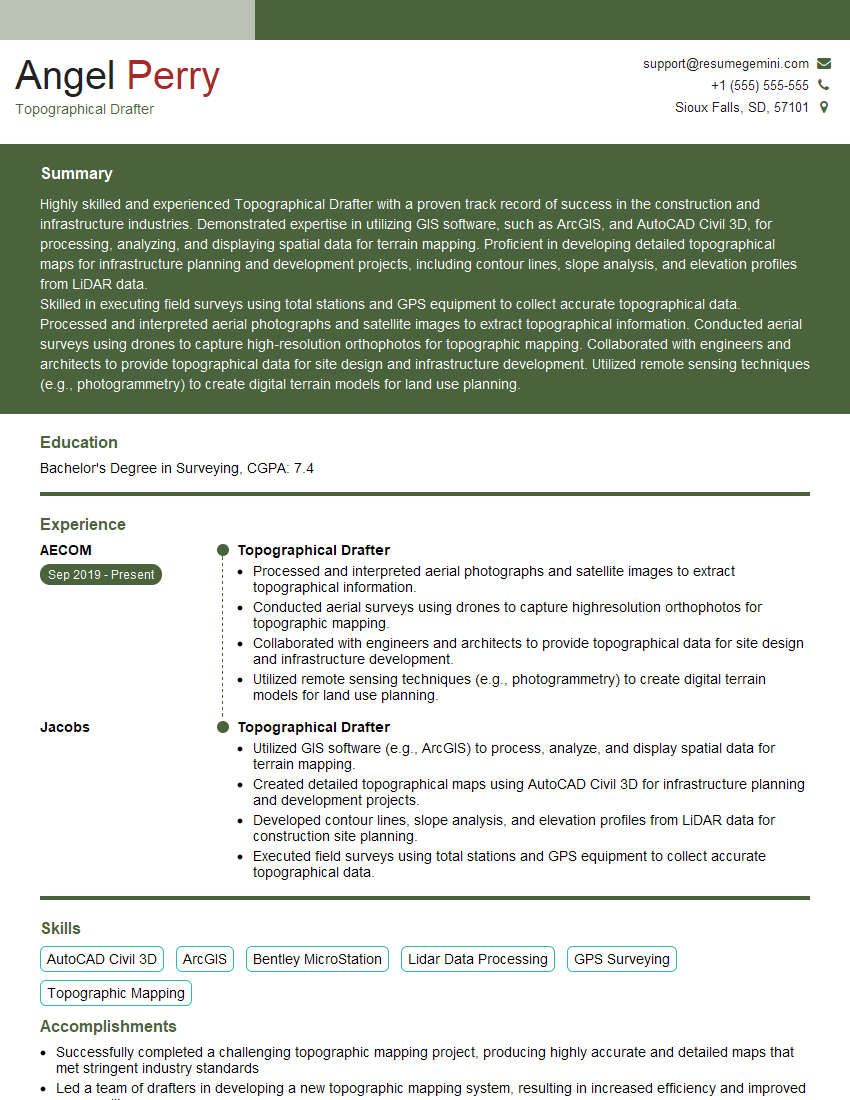
Are you a seasoned Topographical Drafter seeking a new career path? Discover our professionally built Topographical Drafter Resume Template. This time-saving tool provides a solid foundation for your job search. Simply click “Edit Resume” to customize it with your unique experiences and achievements. Customize fonts and colors to match your personal style and increase your chances of landing your dream job. Explore more Resume Templates for additional options.

Angel Perry
Topographical Drafter
Summary
Highly skilled and experienced Topographical Drafter with a proven track record of success in the construction and infrastructure industries. Demonstrated expertise in utilizing GIS software, such as ArcGIS, and AutoCAD Civil 3D, for processing, analyzing, and displaying spatial data for terrain mapping. Proficient in developing detailed topographical maps for infrastructure planning and development projects, including contour lines, slope analysis, and elevation profiles from LiDAR data.
Skilled in executing field surveys using total stations and GPS equipment to collect accurate topographical data. Processed and interpreted aerial photographs and satellite images to extract topographical information. Conducted aerial surveys using drones to capture high-resolution orthophotos for topographic mapping. Collaborated with engineers and architects to provide topographical data for site design and infrastructure development. Utilized remote sensing techniques (e.g., photogrammetry) to create digital terrain models for land use planning.
Education
Bachelor’s Degree in Surveying
August 2015
Skills
- AutoCAD Civil 3D
- ArcGIS
- Bentley MicroStation
- Lidar Data Processing
- GPS Surveying
- Topographic Mapping
Work Experience
Topographical Drafter
- Processed and interpreted aerial photographs and satellite images to extract topographical information.
- Conducted aerial surveys using drones to capture highresolution orthophotos for topographic mapping.
- Collaborated with engineers and architects to provide topographical data for site design and infrastructure development.
- Utilized remote sensing techniques (e.g., photogrammetry) to create digital terrain models for land use planning.
Topographical Drafter
- Utilized GIS software (e.g., ArcGIS) to process, analyze, and display spatial data for terrain mapping.
- Created detailed topographical maps using AutoCAD Civil 3D for infrastructure planning and development projects.
- Developed contour lines, slope analysis, and elevation profiles from LiDAR data for construction site planning.
- Executed field surveys using total stations and GPS equipment to collect accurate topographical data.
Accomplishments
- Successfully completed a challenging topographic mapping project, producing highly accurate and detailed maps that met stringent industry standards
- Led a team of drafters in developing a new topographic mapping system, resulting in increased efficiency and improved map quality
- Developed innovative techniques for creating 3D topographic models, enabling clients to visualize and analyze complex terrain
- Successfully implemented a new quality control system, reducing errors and improving the overall accuracy of topographic maps
- Collaborated with engineers and surveyors to develop and maintain topographic databases, ensuring the availability of accurate and uptodate information
Awards
- Recipient of the American Society for Photogrammetry and Remote Sensing (ASPRS) Award for Excellence in Topographic Drafting
- First place in the National Topographic Drafting Competition, sponsored by the National Society of Professional Surveyors (NSPS)
- Honored with the Topographic Drafter of the Year award by the California Association of County Engineers and Surveyors (CACES)
- Awarded the Best Topographic Map award by the International Association of Geodesy (IAG)
Certificates
- Certified Topographical Drafter (CTD)
- AutoCAD Civil 3D Professional Certification
- ArcGIS Desktop Associate Certification
- Bentley MicroStation Professional Certification
Career Expert Tips:
- Select the ideal resume template to showcase your professional experience effectively.
- Master the art of resume writing to highlight your unique qualifications and achievements.
- Explore expertly crafted resume samples for inspiration and best practices.
- Build your best resume for free this new year with ResumeGemini. Enjoy exclusive discounts on ATS optimized resume templates.
How To Write Resume For Topographical Drafter
- Highlight your skills in GIS software, AutoCAD Civil 3D, and other relevant software.
- Showcase your experience in field surveying and data collection.
- Quantify your accomplishments whenever possible, using specific metrics to demonstrate your impact.
- Tailor your resume to each job you apply for, highlighting the skills and experience that are most relevant to the position.
- Proofread your resume carefully before submitting it, ensuring that there are no errors.
Essential Experience Highlights for a Strong Topographical Drafter Resume
- Utilize GIS software (e.g., ArcGIS) to process, analyze, and display spatial data for terrain mapping.
- Create detailed topographical maps using AutoCAD Civil 3D for infrastructure planning and development projects.
- Develop contour lines, slope analysis, and elevation profiles from LiDAR data for construction site planning.
- Execute field surveys using total stations and GPS equipment to collect accurate topographical data.
- Process and interpret aerial photographs and satellite images to extract topographical information.
- Conduct aerial surveys using drones to capture high-resolution orthophotos for topographic mapping.
- Collaborate with engineers and architects to provide topographical data for site design and infrastructure development.
Frequently Asked Questions (FAQ’s) For Topographical Drafter
What are the key skills required for a Topographical Drafter?
The key skills required for a Topographical Drafter include proficiency in GIS software, AutoCAD Civil 3D, and other relevant software, as well as experience in field surveying and data collection.
What are the career prospects for a Topographical Drafter?
Topographical Drafters are in high demand due to the increasing use of GIS and other spatial data technologies in the construction and infrastructure industries. The career prospects for Topographical Drafters are expected to remain strong in the coming years.
What is the average salary for a Topographical Drafter?
The average salary for a Topographical Drafter in the United States is around $60,000 per year.
What are the educational requirements for a Topographical Drafter?
Most Topographical Drafters have a bachelor’s degree in surveying or a related field.
What are the certification requirements for a Topographical Drafter?
There are no specific certification requirements for Topographical Drafters, but some employers may prefer candidates who have certification from a professional organization, such as the American Society for Photogrammetry and Remote Sensing (ASPRS).